 February 12, 2021 -
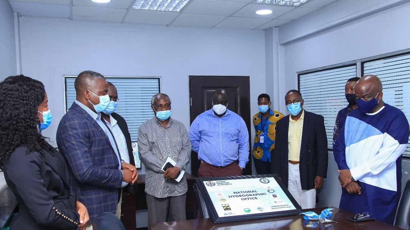
The Ghana Maritime Authority (GMA) has opened a National Hydrographic Office aimed at providing relevant data to propel the nation’s blue economy. The office will deal with the measurement and description of the physical features of oceans, seas, coastal areas, lakes, and rivers; it also has the capacity to predict changes over time – for the primary purpose of safety of navigation and in support of all other marine activities, including economic development, security and defense, scientific research and environmental protection.
The Ghana Hydrographic Office’s establishment is a requirement of the International Hydrographic Organisation (IHO), of which Ghana is a member. The IHO is an inter-governmental technical organization that coordinates the activities of national hydrographic offices and sets standards to promote uniformity in nautical charts and documents. It also issues international best practices and provides guidelines to maximize the use of hydrographic information from geospatial data, bathymetry, the safety of navigation, oil exploration, and drilling rigs, and many more.
In 2019, Parliament ratified the Convention on the International Hydrographic Organisation (IHO).
Speaking at the ceremony to open the Ghana Hydrographic Office (GHO), the Director-General (DG) of the GMA, Thomas Alonsi, said the office consolidates Ghana’s role in the arena of international hydrography. He said as a coastal state and signatory to the International Convention on the Safety of Life at Sea (SOLAS), Ghana is obligated to provide hydrographic and nautical services for the safety of navigation and protection of the marine environment.
Mr. Alonsi said the National Hydrographic and Oceanographic Committee (NHOC) was formed – as recommended by the IHO – to “formulate national hydrographic standards, develop a database and coordinate hydrographic activities to avoid duplication of work by the various agencies”.
He emphasized that the “NHOC supported Ghana’s efforts for ratification of the IHO, and I am happy to formally announce that Ghana is now a member of the IHO. Through Ghana’s IHO membership, we have moved from the observer status to become members of the East Atlantic Hydrographic Commission (EAtHC)”.
Being a member of EAtHC requires Ghana to have a national hydrographic office to serve as the central point for the collation of hydrographic, oceanographic, and relevant marine data for the production of nautical charts as well as dissemination of maritime safety information.
Vice-President of the NHOC, Ing. Isaac Koranteng Yirenkyi, praised GMA for the sense of urgency it attached to getting the GHO office set up to facilitate hydrographic activities. “I thought setting up Ghana’s hydrography office was going to be possible maybe by 2025, but here we are – having it unfold before our very eyes in 2020. To have acquired it during this era of COVID-19 makes it a greater achievement,” he stressed.
Mr Yirenkyi, who also represents the Ghana Ports and Harbours Authority said: “As a committee, we will prove Ghana can produce its own charts shortly since this will give us the impetus to go forward. On behalf of my colleagues, I thank GMA for this initiative”.
Members of the NHOC who also witnessed the occasion were: Nana Adusei Poku, Lead Geomatic Engineer with GNPC; Captain Darlington Newton Akrofi from the GMA, Takoradi office; Captain Adjetey from the Regional Maritime University; and Dr. Isaac Oppong from the Petroleum Commission.
Also present was Yaw Antwi Akosa, a Deputy Director General (Finance and Administration); and Ms. Marilyn Eghan, head of Hydrography, both at GMA.
The Ghana Hydrography Office is furnished with high-performance supercomputers and powerful workstation laptops, a plotter and the requisite software. Ghana joins the likes of South Africa, Morocco, Tunisia, Nigeria, and Egypt who are torchbearers on the African continent when it comes to coordination of hydrographic data for marine-related decision-making.
Source: www.ghanamaritime.org